
Surveying and Mapping Services
GeoCAMP provides surveying and mapping services for property documentation, planning, engineering, water-related studies, and land development requirements.
Practical survey information for real project decisions.
GeoCAMP assists clients who need reliable field measurements, land information, mapping outputs, and survey documentation for property, planning, and project use.
Each service is handled according to the client’s concern, site condition, required output, and available reference documents. This helps ensure that the work is properly planned before field data collection begins.

What GeoCAMP Can Help You With
These services support clients who need accurate site information, boundary details, elevation data, water-depth information, and organized mapping documentation.
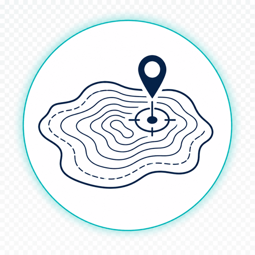
Topographic Survey
A topographic survey identifies ground elevations, surface features, and site conditions. It is commonly used when a project needs terrain information before planning, design, construction, or development work.
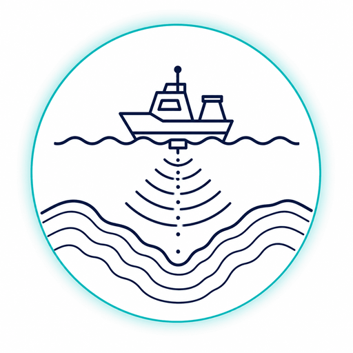
Bathymetric Survey
A bathymetric survey measures underwater depths and bottom features of rivers, lakes, coastal areas, and other bodies of water. It supports water-related mapping, assessment, and engineering planning.
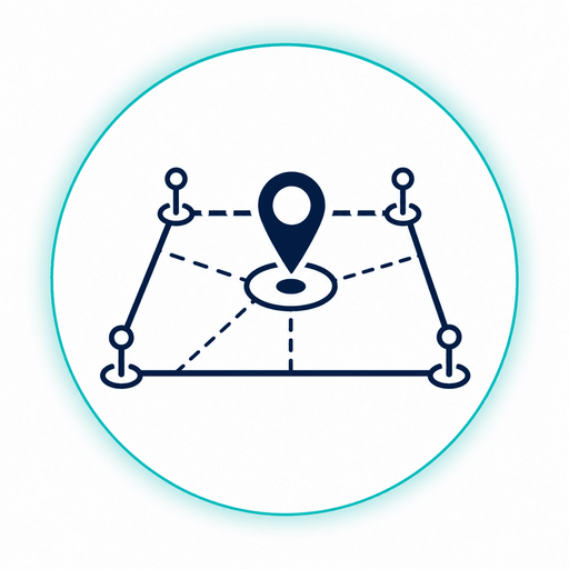
Property Survey
A property survey identifies and verifies land boundaries, lot corners, and property details. It supports ownership documentation, boundary clarification, land records, and development-related requirements.
A clear process from inquiry to output delivery.
GeoCAMP follows an organized workflow so the client’s concern, site location, required documents, fieldwork, processing, and final output are properly handled.
Inquiry and Requirement Checking
The client shares the survey type, location, concern, and expected output.
Site and Document Review
Available details are reviewed to understand the scope and needed fieldwork.
Field Survey
Survey observations are gathered on-site using proper procedures and instruments.
Data Processing and Mapping
Field data are processed, checked, and organized into usable survey information.
Output Review and Delivery
Final outputs are reviewed and delivered for documentation, planning, or project use.
Information that helps start the survey properly.
Providing clear details during inquiry helps GeoCAMP understand the project requirement and recommend the appropriate survey or mapping service.
Need a survey for your property, site, or project?
Contact GeoCAMP Surveying and Mapping Services for topographic, bathymetric, property survey, mapping, and land documentation support.